
Ready to fish?
OFFSHORE TECHNOLOGY REDEFINED
Take Hilton's Charts Offshore
Navigate directly on sea surface temperature, chlorophyll, currents, altimetry, and more, even without cell service.


Realtime Navigation
How It Works
Lorem ipsum dolor amet, consectetur adipiscing elit, eiusmod tempor incididunt ut labore et dolore magna aliqua. Ut enim ad minim veniam, quis nostrud exercitation ullamco laboris ut .
STEP 1
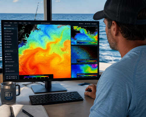
Before leaving the dock, analyze the latest sea surface temperature (SST), chlorophyll, currents, altimetry, and weather conditions. Compare today’s offshore conditions with historical data to identify productive water, track moving temperature breaks, and plan where the fish are most likely to be.
01
STEP 2
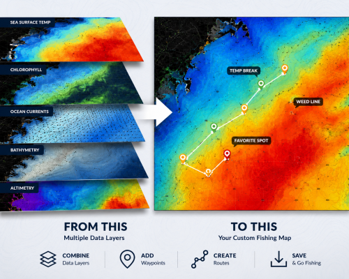
Create custom chart overlays tailored to your fishing style. Combine sea temperature, chlorophyll, bathymetry, currents, and waypoints into one easy-to-read navigation map. Save your personalized charts before heading offshore.
02
STEP 3
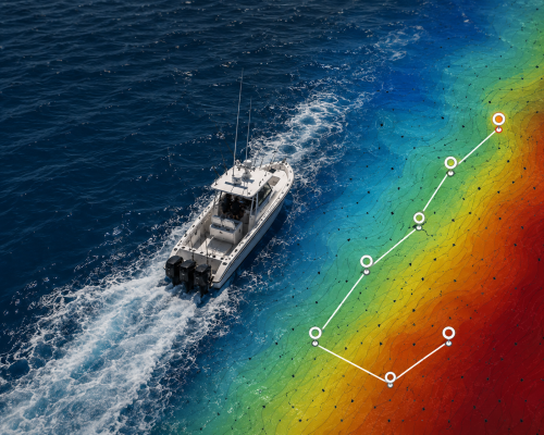
Open your saved charts in the RT-Nav mobile app and view your GPS position directly on top of the satellite imagery. Create routes, mark waypoints, measure distances, and navigate confidently, even offshore without an internet connection.
03
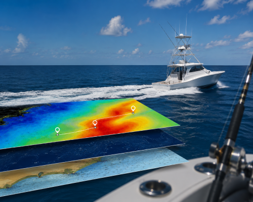
STEP 4
Spend less time searching and more time fishing. By targeting temperature breaks, weed lines, current edges, and productive water, you’ll reduce fuel costs, maximize your fishing time, and consistently improve your chances of finding pelagic species.