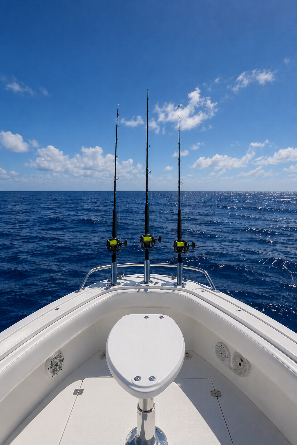
Hilton's Offshore
Why Use Hilton's?
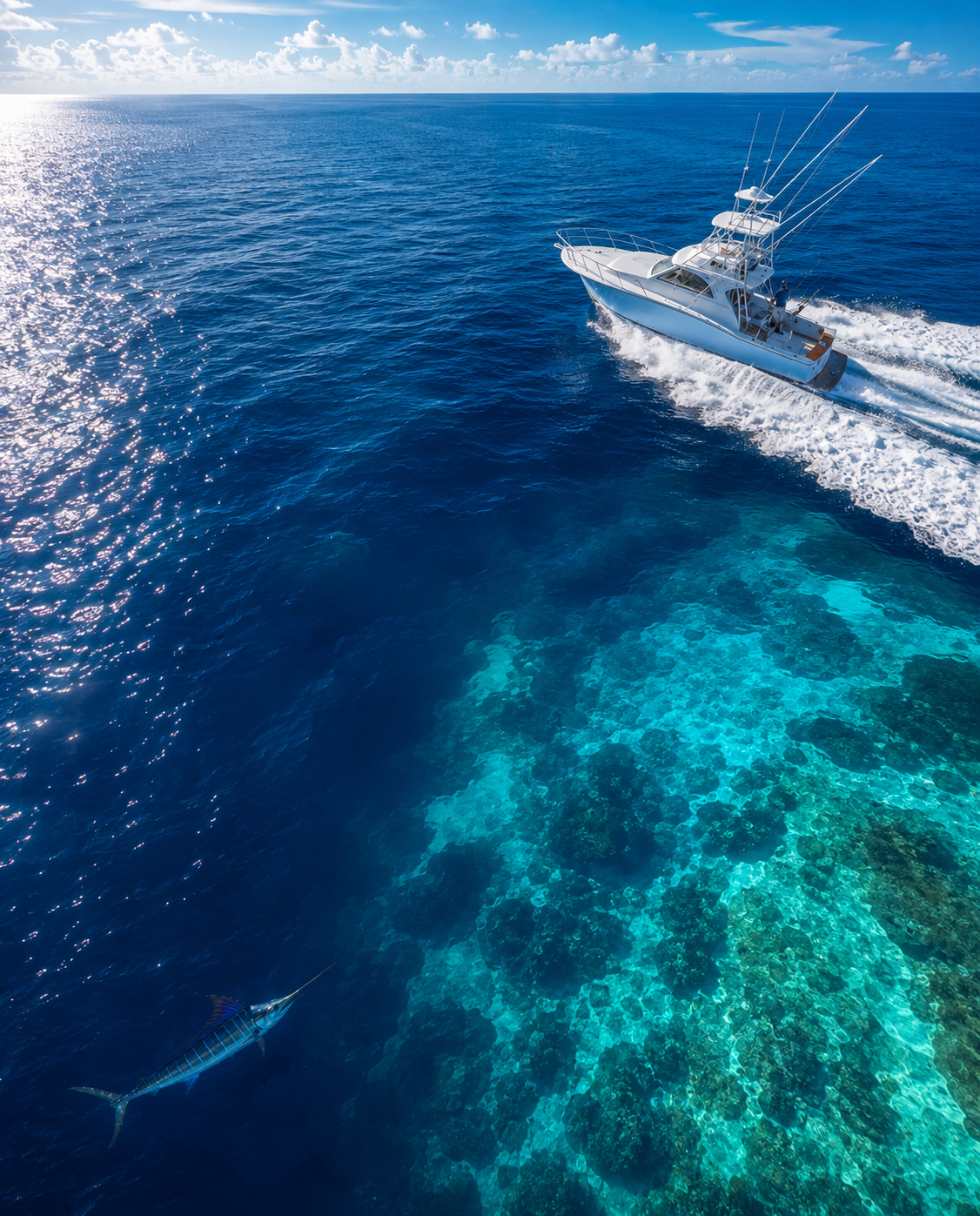
The advent of the internet has brought about fundamental changes in viewing the conditions offshore. You can now, from the comfort and convenience of your home or office in the days preceding your trip, monitor the diferent imageries, determine their tendencies, and ascertain what areas hold the most promise for holding fish. And as importantly, you can also determine which areas are NOT likely to be productive – this can save you lots of time, money, and frustration.
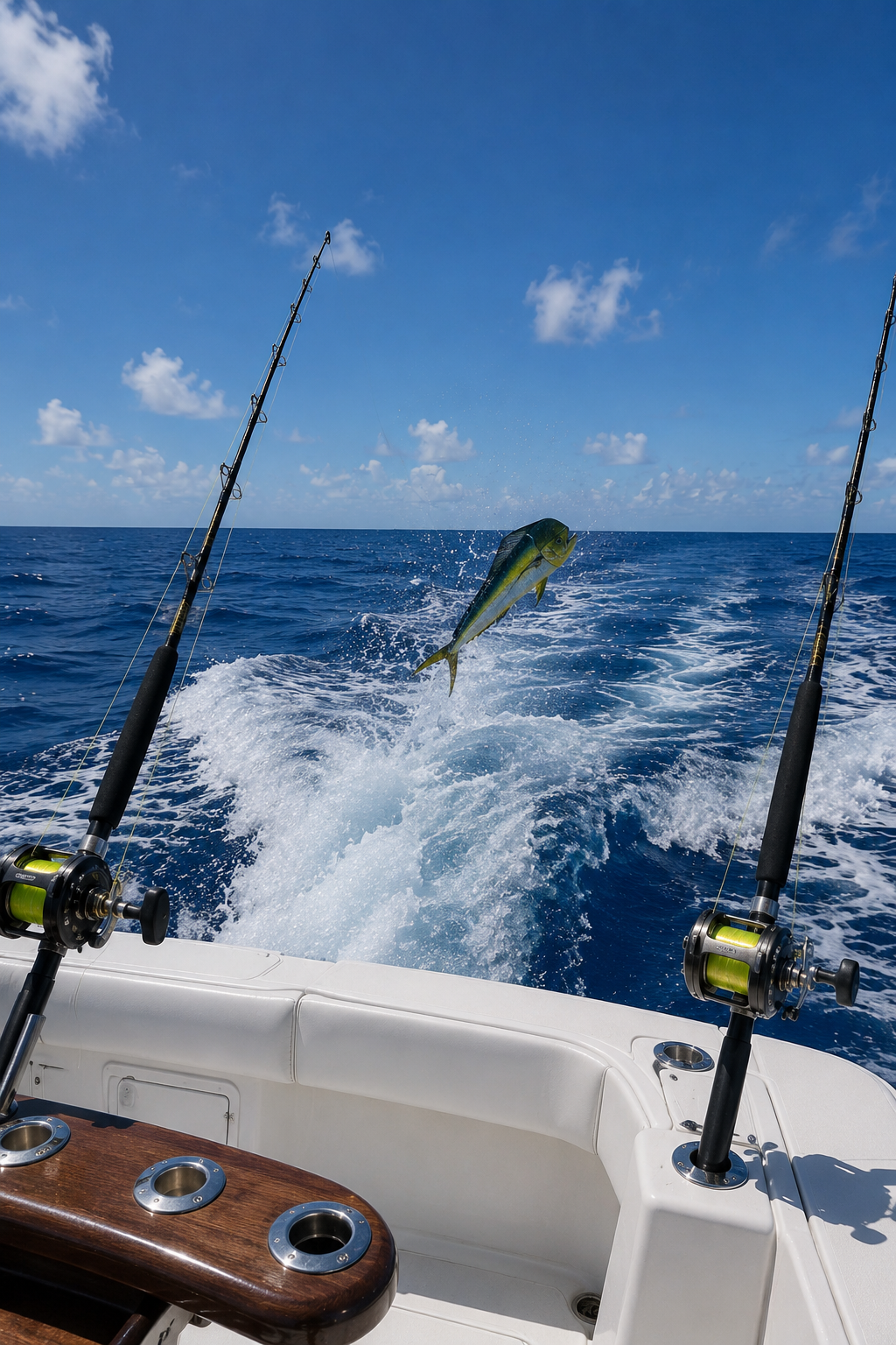
Hilton's Offshore
Our Reputation
Hilton’s has built our reputation as providing the very best service for the money – the proof is in the pudding as we still have many subscribers with us from the beginning when we launched in May of 2004 with the 3 regions in the northern Gulf. Of cousre now we have grown to 36 regions on all 3 coasts and beyond in addition to blazing new trails in the industry by providing the ability for our subscribers to navigate on the latest sea temp, chlorophyll, surface currents, or altimetry imageries on their laptop, iPhone, iPad, Android phone or tablet, and SAT2NAV directly on your chartplotter!
Hilton’s Realtime-Navigator subscribers not only are able to monitor the conditions from their home or office in the days preceding their offshore fishing trip, they are able to actually see their boat’s position relative to the latest imageries while out on the spot, create routes to temp breaks, color changes, waypoints, etc. – no need for internet access or worry about data usage.

Navigate with Confidence
Find Fish Faster
Save Time & Fuel
Hilton's Offshore
SST AVAILABILITY
We provide the absolute best sea temp imagery available on the web – no question. Other sea temp services simply give you an image and say “Good Luck” We give you the image then ASK; what part of this image are YOU interested in? You habve the availability to customize the shot based on your preferences. There are usually 6-12 satellite shots each day, per region, and the quality varies due to cloud cover, incomplete satellite shots, etc. There is a learning curve to getting the best results for this imagery – I recommend calling us for a hands-on tutorial – 713 530-2267. We can show you how to customize and pinpoint where weedlines will likely be located using this imagery.
Hilton's Offshore
CHLOROPHYLL
This imagery is very sketchy to capture as unlike the sst imagery, we only get 1 shot per day and that is in the evening. If there is a cloud, there is no data. So, we have worked long and hard to make this imagery as useable as possible. You can select “1 Day”, “3 Day”, or “7 Day” compilations. You can animate this imagery to view the tendencies of where the color changes are heading….chlorophyll is green and is found in the phytoplankton. The more plankton, the more turbid and/or green the water becomes. This imagery is shot by the same satellite that shoots the True Color imagery – compare the 2 to get an idea of what the colors on Chlorophyll translate into relative to true water color.
This imagery is closely tied to the Chlorophyll imagery – it is basically a photograph looking down at the ocean, but because you only get 1 shot per day, it is rather limiting. There are some days that are clear and it is very good. The instruments on the chlorophyll are much more sensitive to the variations in color and turbidity than the resolution of the true color allows.
Hilton's Offshore
TRUE COLOR
Hilton's Offshore
ALTIMETRY
This imagery is a radar product which shoots through clouds and is therefore never affected by cloud cover. It measures the surface height of the ocean, creating a contour map of the surface. Bulges in the surface (orange and red) are to be avoided as they are downwelling, nutrient-poor areas which are basically devoid of life. The depressions in the surface (light blue/dark blue) are desired as they indicate upwelling, nutrient-rich areas – this is the beginning of the food chain and the pelagic follow the food. Green areas are transitional areas, and you can catch fish there depending on the other conditions.
Hilton's Offshore
CURRENTS
Surface currents are shown relative to their direction and speed. Purple areas where there are only heads, pointing in different directions indicate slack current – not good. Colored areas indicate fast currents (there is a velocity scale at the right of the image). The idea is to be situated in areas where you have good current – not too much, or too little.
Hilton's Offshore
SALINITY
(Not available in all areas). Salinity shows where you have ultra-fresh water I(indicated by purple) and how it gradiates to very saline water (maroon). This imagery is mainly useful to the nearshore pelagic fishermen (king mackerel) as it shows where there is the right mixture of fresh/salt water.
Hilton's Offshore
RADAR
(Not available in all areas). Radar shows the latest weather radar to indicate the conditions on the fishing locations offshore.
Hilton's Offshore
IR LOOP
This is an overview of the atmospheric conditions of the region – refer to this to see incoming frontal systems, or to see why the imagery has been cloudy lately.
Hilton's Offshore
NAV TOOL
This is the oval with a big white box underneath it which says “Place cursor in oval”. When you take your cursor and click on the NAME of any waypoint, a bullseye will replace that icon. The Nav Tool always reads from the center of the bullseye and the center of the oval. Click on the NAME of your homeport to set the bullseye, then drag the oval out to where you want to go, such as a temp break. It will display the lat/long coordinate, the bearing, and the distance from your homeport.
Hilton's Offshore
TRIP PLANNER
When ready to use the Trip Planner, click on “Trip Planner” on the left nav bar and a new window will open called “Trip Statistics”. Zoom in and scroll to the area that you are interested in and the Trip Statistics window will stay with you on the screen. Click on the starting point of your trip, and coordinate #1 will appear in the Trip Statistics window. Click on your next destination, whether it be a waypoint or a temp break, color change, whatever, and coordinate #2 will appear along with a distance and bearing from #1. You can repeat the process until you have up to 12 waypoints. The route can be overlaid on other imageries which helps to tell the whole story. It also is useful in helping you understnd the logistics of how much time and fuel it will take to get there and run the route the way you have it drawn. Lastly, it is very useful in helping you to understand the dynamics of what is happening out there – which way and how fast isthat temp break moving? You can overlay the route on the latest position then compare to historical shots to measure the distance travled relative to the time differential between shots (for example, it may have move 4 miles NE over a period of 8 hours, so you know it’s moving NE at 1/2 knot, and your boat will be out there about 10 hours from the latest shot so you can position your boat to be about 5 miles NE of the latest position in order to better able to intercept it.
Hilton's Offshore
FLOATERS
(Available in the 3 northern Gulf of Mexico regions only). We pay about $4,000 per year for the absolute best data regarding the locations of the semisubmersibles and drillships in the Gulf. These large deepwater structures are fish attracting devices and hold bait and gamefish year-round.
Hilton's Offshore
SERVICE
We pride ourselves on our Customer Service. Please feel free to contact us if you have any questions or issues using the site. Our philosophy is that if you do not understand how to best utilize the site’s features, you are not as likely to be successful – our goal is for you to maximize your efficiencies.
The Hilton System Explained
FAQs
Most images have a "Print Map" function at the top left of each image - this will print the entire region. Many times, however, it is desirable to have the ability to print a much smaller area. Here is how we do it;
Zoom in, zoom out, and position the image just the way you want it on your computer screen. Then click on the "Print Screen" key (prt sc) key located at the upper right of your keyboard - you may need to hold down the Function key (fn). Nothing will visibly happen as the image is simply cached inside your computer. Minimize Realtime-Navigator and open up another program such as Paint, Excel, or, as I prefer, Microsoft Word. Click Edit/Paste and the image will appear. You will need to switch the page orientation to landscape. Click on the image once, and handle bars will appear - drag a corner and the image will enlarge. Manipulate as needed and print! This is a great way to do it as it has the graphic of the imagery in addition to waypoints and any nav data.
If you want to change the position of the bullseye, simply click on the NAME of any waypoint, and the bullseye will replace that icon. The Nav Toll (oval with big white box) always reads from the bullseye when displaying the distance and bearing.
We have recently upgraded the system so that the bullseye stays at the waypoint selected until you select a different waypoint. This way, when veiwing different imageries, it is no longer necessary to reset your homeport location each time.
This is a feature that we introduced in May 2010 and is an alternative to using the Nav Tool. When you enter the site, you will now see "Trip Planner" at the top of each image. This is a great tool that allows you to plan your trip according to what the charts are showing. Once you click "Trip Planner" a window will open called "Trip Statistics". You can then start clicking anywhere on the image; waypoint icons, temp breaks, water color changes, etc. Each time you click on the image, a temporary waypoint is placed on the screen and the lat/long coordinates, distance and bearing from the previous waypoint are displayed. You can click up to 15 times on the charts, and the Trip Statistics window logs all of the info including the Total Distance for your trip. Click on "Print Map" and it will print all of the information for you to take on your trip. Also, when you view different imageries, click on "Start Trip Planner" and your route will be displayed on each imagery!